The Bay of Fundy in eastern Canada is best known for having the highest tides in the world. Twice a day as the tide comes in, the water rises as much as 16 meters, the height of a 5 story building. From a human perspective, this is an impressive spectacle, but for the natural world it is a life-blood of food, shelter and room to roam.
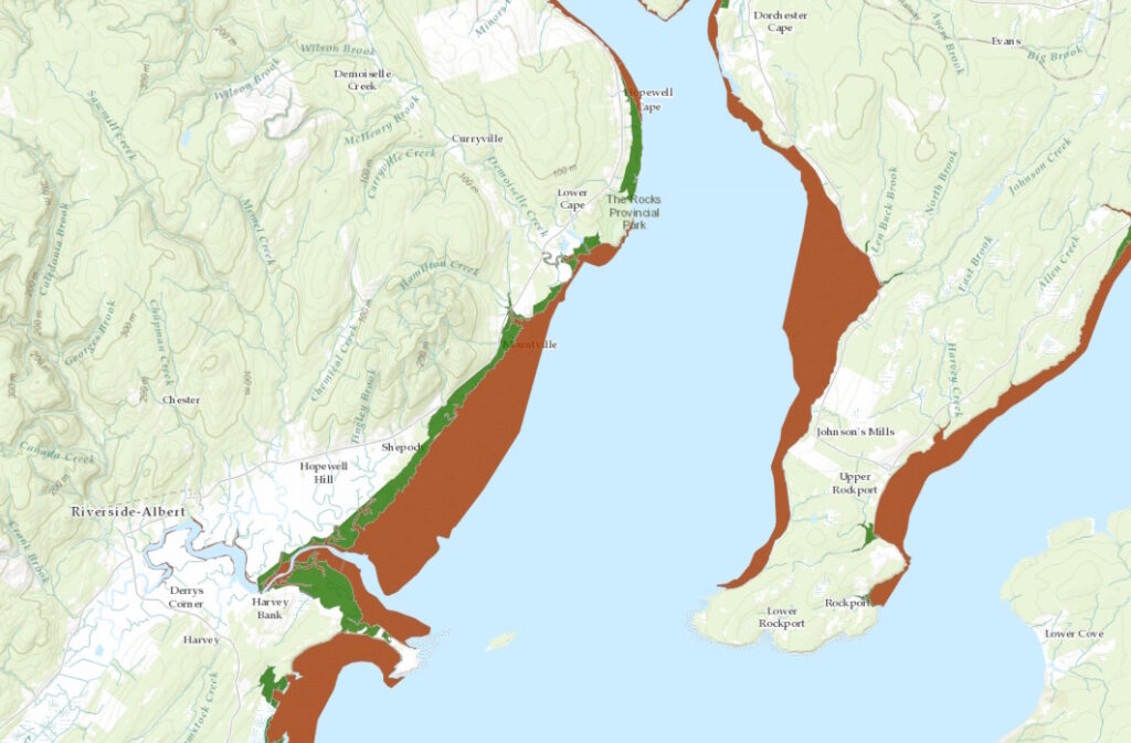 When the tidal waters recede, large portions of land which were covered with water are revealed (called the intertidal zone). Some of these areas have solid soils covered in grasses. These are salt-water or coastal marshes (depicted in dark green on the map). These marshes are an important ecological feature. They provide nutrient exchange between the marine and terrestrial worlds. They also provide some protection to the land from rising waters.
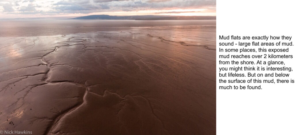
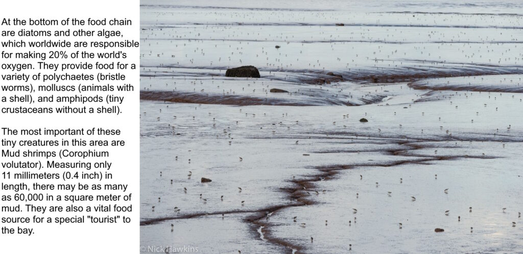
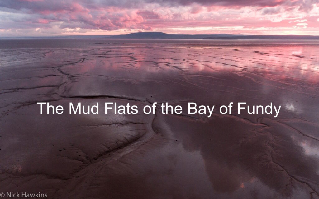
The second feature revealed is mud flats. On this map, the area in brown shows the extent of the mud flats in the Upper Bay of Fundy (New Brunswick side of the Bay).
(For more information and images, click the headings below.)
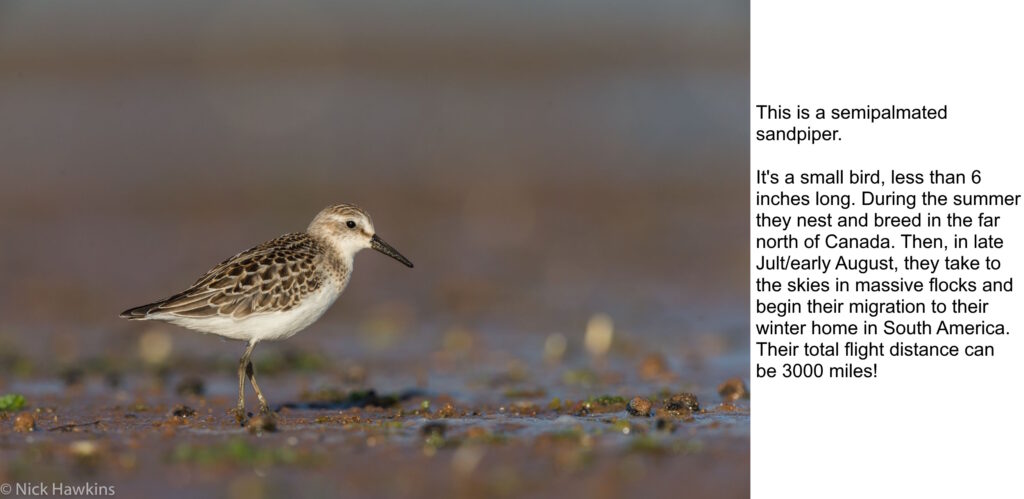
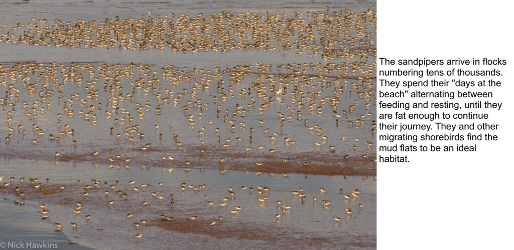
If you would like to watch a video showing the sandpipers, both resting and in flight, please check out our “Sandpiper Ballet“.
This page is the result of a joint project between the Canadian Parks and Wilderness Society (New Brunswick and Nova Scotia Chapters) and the Conservation Council of New Brunswick. All photos are by Nick Hawkins.
For further information about the organizations involved and the actions they are taking, follow the links below:
- CPAWS New Brunswick
- CPAWS Nova Scotia
- Conservation Council of New Brunswick
- Nick Hawkins Photography

